Skip to content Digital Elevation Model – Arab Nubia Group Blog
  • Website
  • Facebook
  • YouTube
  • LinkedIn
Arab Nubia Group Blog

Arab Nubia Group Blog

GIS, Remote Sensing & General Applications

  • Home
  • General
  • GIS
  • Remote Sensing
  • Contacts

Featured

  • Download Sentinel-2 PCA mosaic for Arabian Shield Exposure in Saudi Arabia
  • Arab Nubia Group Announces Mega Remote Sensing Project for the Arabian Nubian Shield
  • Vertical accuracy assessment of the Copernicus DEM for EGYPT
  • Amazing database for most of remote sensing indices in one place

Tag: Digital Elevation Model

11 Jan11 Jan

Download Sentinel-2 PCA mosaic for Arabian Shield Exposure in Saudi Arabia

25 Apr25 Apr

Vertical accuracy assessment of the Copernicus DEM for EGYPT

10 Aug10 Aug

Download Sentinel-2 Band Ratios PCA mosaic for Central Eastern Desert of Egypt

8 May8 May

Download Drainage Analysis Shapefile Dataset for Eastern Desert of Egypt

5 May5 May

Egypt Copernicus Digital Elevation model (1 Arc-Second)

18 Apr1 May

Copernicus DEM30 meter available now for free

28 Jul28 Jul

Increasing Sentinel-2 spatial resolution to 2.5 meters/pixel

18 May18 May

Download latest DEM release NASADEM (1 arc-second)

15 May15 May

Tunisia NASADEM Digital Elevation model 1 Arc-Second

1 May

Egypt NASADEM Digital Elevation model 1 Arc-Second

30 Apr

Updated Version of Global Elevation Data (NASADEM)

20 Nov24 Nov

Generated DEM from Sentinel-1 InSAR

3 Nov10 May

Download GEBCO_2019 Bathymetric grid

28 Oct10 May

Red Sea & Mediterranean Sea floors

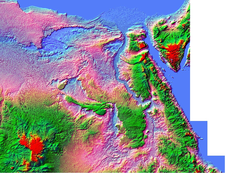
13 Oct10 May

GEBCO’s gridded bathymetric data set 2019(15 arc-second grid) is now available to download for free

10 Oct4 May

Africa Drainage Analysis Map

7 Aug15 May

New Version of the ASTER GDEM

13 Jun15 May

Generate 3D contour layer from online SRTM

9 Jun15 May

3D Shapfile Contour layer of Egypt

29 May8 Oct

ETOPO1 (1 Arc-Minute) Global Relief Model

Posts pagination

1 2 Next

User Panel

  • Log in
  • Dashboard
  • Register
  • Log out

Recent Posts

  • Download Sentinel-2 PCA mosaic for Arabian Shield Exposure in Saudi Arabia
  • Arab Nubia Group Announces Mega Remote Sensing Project for the Arabian Nubian Shield
  • Vertical accuracy assessment of the Copernicus DEM for EGYPT
  • Download Egypt shapefile for geographic feature names
  • Amazing database for most of remote sensing indices in one place
  • Download Sentinel-2 Band Ratios PCA mosaic for Central Eastern Desert of Egypt
  • Download 10-meter Sentinel-2 mosaic for Eastern Desert of Egypt (June 2021)
  • Download Sentinel-2 mosaic of Egypt (Cloudless-June 2021)
  • Download Drainage Analysis Shapefile Dataset for Eastern Desert of Egypt
  • Egypt Copernicus Digital Elevation model (1 Arc-Second)

Archives

Categories

  • General
  • GIS
  • Remote Sensing

Calendar

January 2026
S M T W T F S
 123
45678910
11121314151617
18192021222324
25262728293031
« Dec    

Tags

africa (1) Algeria (2) arabian nubian shield (3) basins (1) Copernicus DEM (1) Digital Elevation Model (23) Digitizing (1) Documentary (1) drainage analysis (4) egypt (13) esa (22) events (3) exploration (6) geology (13) gis (7) global_mapper (23) gold (6) google_earth (3) gps (1) graphics animation (3) hydrology (1) imagery (11) InSar (2) iraq (1) landsat (3) landuse (2) minerals (1) mining (4) Morocco (1) nasa (11) optical (1) radar (3) Remote Sensing (31) saudi arabia (3) sentinel (18) snap (9) spectral (5) stream order (1) Tunisia (3) tutorials (14) watershed (1)

Categories

  • General (30)
  • GIS (40)
  • Remote Sensing (54)

Social

  • Website
  • Facebook
  • YouTube
  • LinkedIn

Latest Articles

  • Download Sentinel-2 PCA mosaic for Arabian Shield Exposure in Saudi Arabia
  • Arab Nubia Group Announces Mega Remote Sensing Project for the Arabian Nubian Shield
  • Vertical accuracy assessment of the Copernicus DEM for EGYPT
Theme Designed by InkHive. © 2023 Arab Nubia Group Blog. All Rights Reserved.